Services
Our capabilities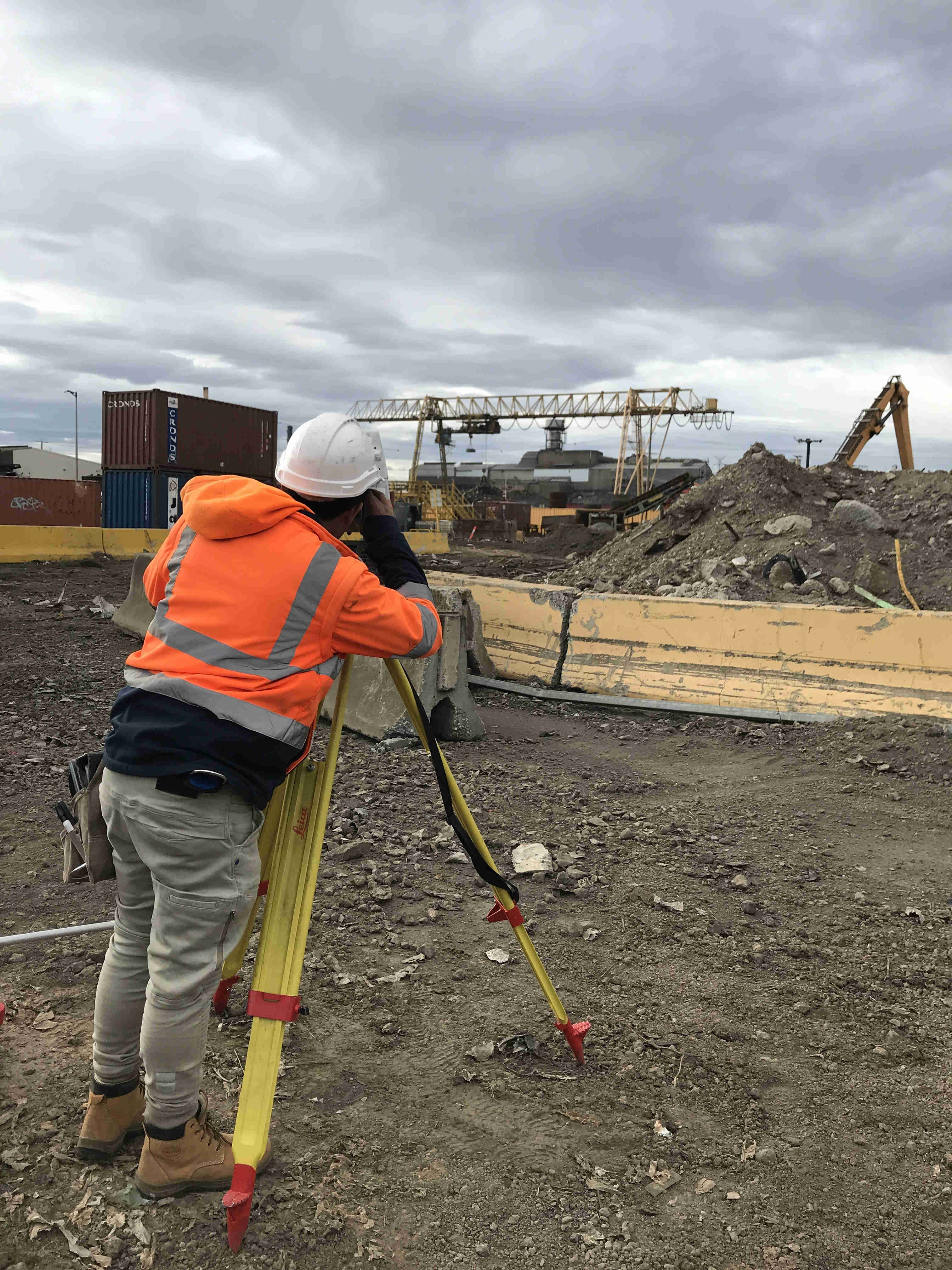
Cadastral Surveys
Includes Title Re-establishment Surveys to determine the position of fencing and occupation to title boundaries. Application Surveys to acquire occupied land and amend title boundaries.
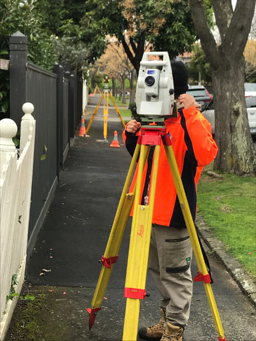
Feature & Level Surveys
Feature and Level plans for design purposes for residential, commercial and industrial projects, landscape design and the preparation of topographical maps for large scale projects.
Subdivisions
The subdivision of land from two lot subdivisions through to large multi lot staged subdivisions. The subdivision of residential, commercial & industrial buildings.
Lease Area Surveys
To measure the area of land or space within a building. Lease area surveys are required when leasing out a property for business.
Rural Surveys
The Re-establishment of Rural Title boundaries, Rural Application Surveys, Rural Land Subdivisions & Boundary Re-alignments.
Site Analysis Plans
The preparation of site context plans for Town Planning Applications and urban design.
GPS Surveys
The collection of data & the setout of points for large scale projects can be managed efficiently through the use of G.P.S. technology.
Construction Setout
To setout grid lines, building corners and place level T.B.M.'s for new commercial, industrial &residential buildings.
Easement, Lease & Restriction Plans
To create, vary or remove easements, leases or restrictions on land, subject to Council and Authorities approval.